
The groundwater level data is an important variable in the hydrological budget (e.g. estimation of recharge from rainfall or other sources) in micro-watersheds. Time series data of groundwater level is also useful in understanding the usage patterns of groundwater for irrigation. Such a time series data is also useful in assessing the role of managed aquifer recharge or watershed practices in micro-catchments. The groundwater levels are gathered by Central Groundwater Department or Department of Mines and Geology at a few permanent observation wells and typically there is one station in approximately 80 Km 2 in the Indian context. This spatial resolution can change depending on if the area is hilly, forested etc. Further, the groundwater level data is gathered once in 3 months or sometimes each month at the maximum. However, if one has to assess the impacts caused to groundwater in a micro-watershed of few sq Km due to land use changes or watershed conservation practices, then it is required to gather the groundwater level at a good spatial and temporal resolution in a micro-watershed.
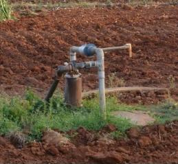
Typical bore well in a farmer plot that could be used for groundwater level monitoring
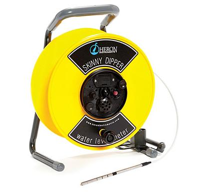
The groundwater level sensing probe